
All it takes for me to be inspired to go hiking is one beautiful picture. When I saw a picture of the Hardergrat Trail Hike from Harder Kulm to Augsmatthorn, I couldn’t wait to go on this hike.
Hike Statistics:
Start & End Points: Harder Kulm Station (1306m)
Max Altitude: Augsmatthorn (2137m)
Ascend & Descend: 831m
Distance: 16km
Duration: 6 hours (with stops we managed in 5.5 hours)
Hardergrat Trail Hike from Harder Kulm to Augsmatthorn – My Experience:
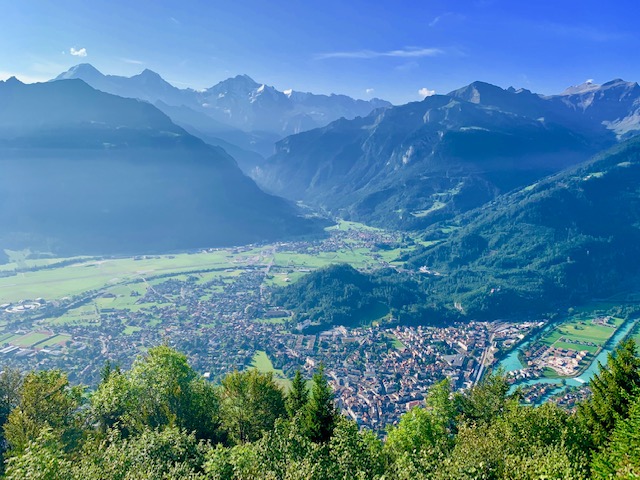
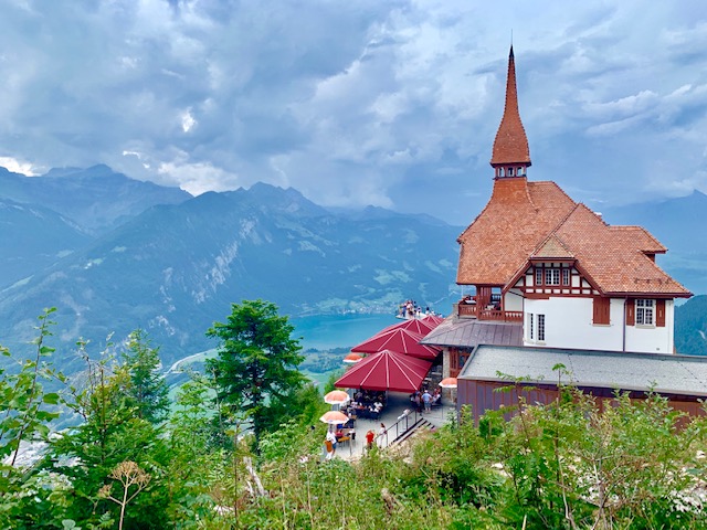
We took an early morning train from Basel to Interlaken East on the 31st of August 2019. From there it was a short walk to the Harder Kulm cable car station. We started our hike at 9.24am after passing the Harder Kulm Restaurant – from which you get a great view of Interlaken.
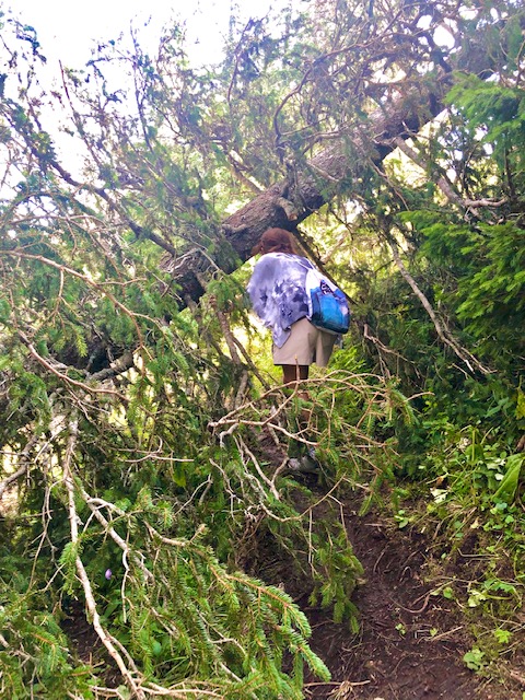
For a significant amount of time, the start of this hike is in the forest.
You can see Lake Brienz through the trees always on your right as you keep ascending.
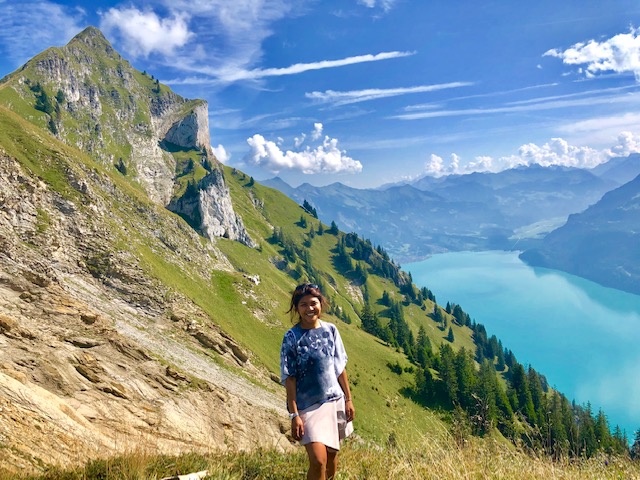
At Alp Horet, you will leave the forest behind and you can see the Suggiture ahead of you. Unfortunately for us, there were no ibex to be seen on this day.
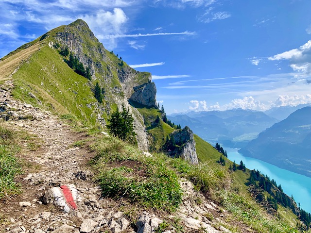
The views however were simply magnificent.
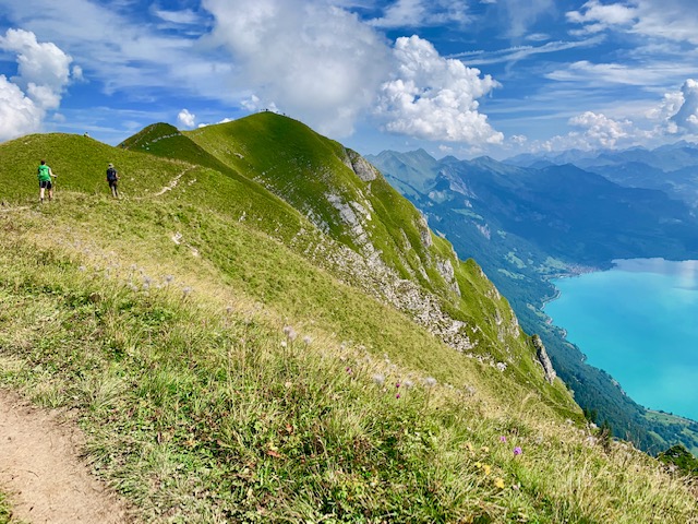
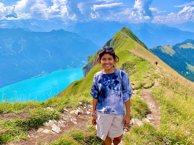
The turquoise blue waters of Lake Brienz and the narrow ridge path is simply something you have to see with your very own eyes.
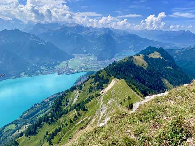
A couple of weeks later, we saw this trail from the hike we did from Schynige Platte to First.
In the picture below you will see the Hardergrat Trail Ridge and the turqoise blue waters of Lake Brienz in the back.
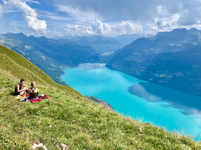
We stopped to eat our sandwiches for our lunch break at Suggiture where we had views of both Lakes Brienz and Thun.
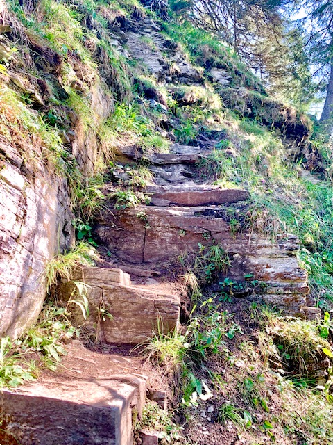
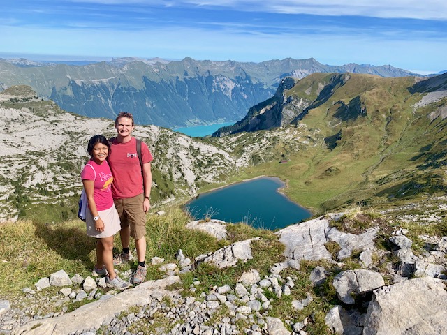
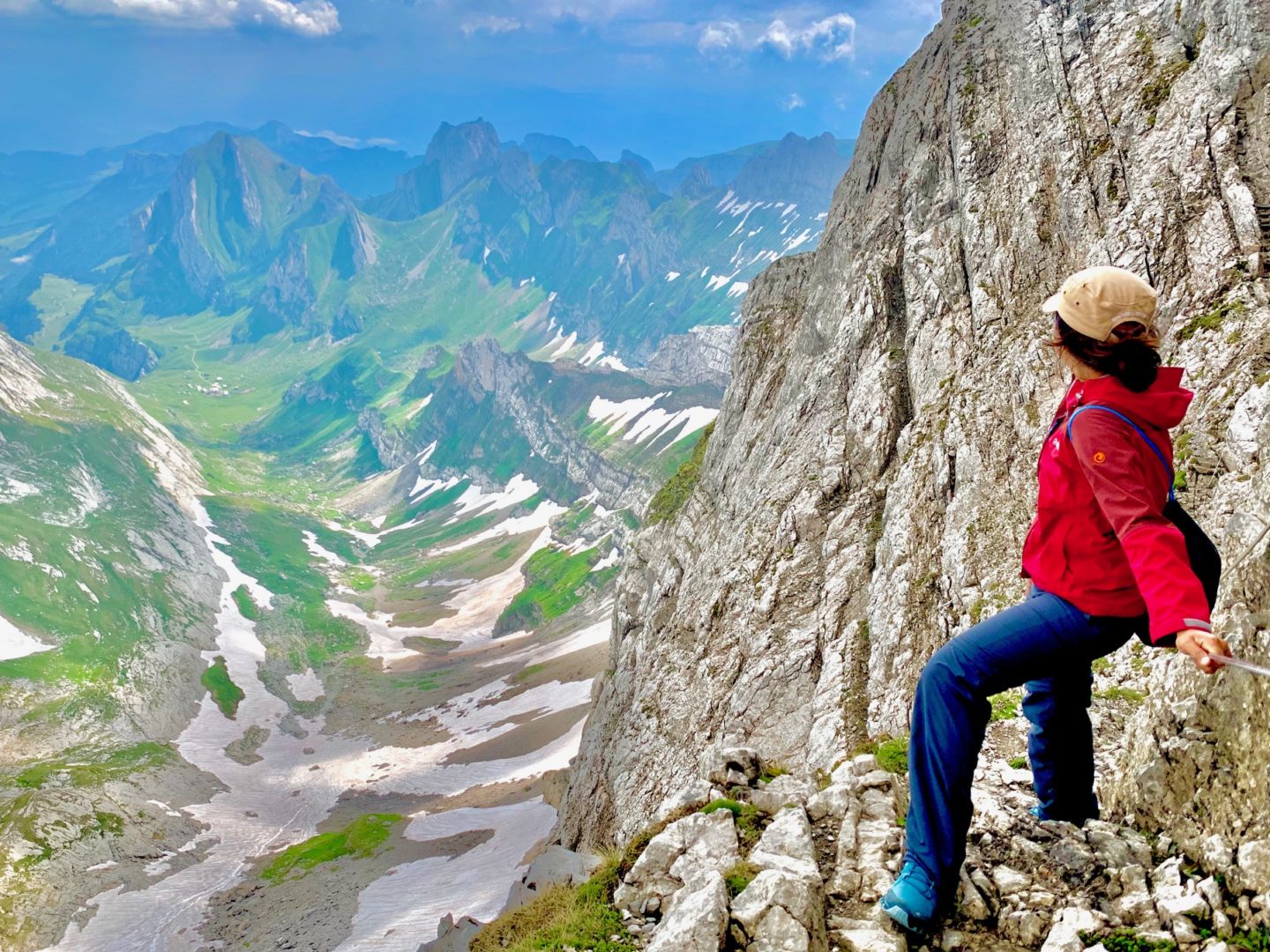
Going further along the ridge from Suggiture to Augsmatthorn involved some tricky narrow paths including some cables. But this opened up to wider trails along the ridge. I never felt terrified nor in danger.
This however may not be the best hike for people who are afraid of heights.
We barely stayed at Augsmatthorn as there were a million and one little flies there.
So, it was immediately back to the starting point. Below is a picture of the Harder Kulm restaurant.
By the end of the day, my iphone had recorded 21km, 31,063 steps and 272 floors.
.
.
.
Overall, it was an incredibly beautiful hike but rather a boring one as it was purely ascending all the way to the end with pretty much the same (albeit amazing) view throughout.
I certainly prefer a hike like the one from Schynige Platte to First where the views kept changing. There was always another surprise around the corner.
However, if you are looking for an easy yet demanding and beautiful ridge hike, the Hardergrat Trail Hike from Harder Kulm to Augsmatthorn certainly fits the bill.
Other ridge hikes I can recommend are the Lisengrat Ridge hike from Säntis to Rotsteinpass and from Hoher Kasten to Saxer Lücke.
For other posts on hiking in Switzerland, click here.

