Hiking the Swiss Path was high up on my to-do list after seeing a picture on Instagram taken somewhere near Flüelen. A quick google search later and I found myself hiking the Swiss Path right after the covid lockdown was over.
The 35-kilometer long Swiss Path (it can be longer if you choose to hike the Alpine trail instead such as from Seelisberg to Isleten as I did) was created to celebrate the 700th year anniversary of the Swiss Confederation in 1991.
The Swiss Path is broken into seven sections. I completed the hike in two separate visits. The first was with a friend from Brunnen to Flüelen and the second was alone from Rütli (the birthplace of the Swiss Confederation) to Flüelen.
This link gives a good overview of the Swiss Path.
Hiking the Swiss Path – My Experience:
Brünnen to Flüelen
Getting off at the train station in Brunnen, you take a left turn to the start of the Swiss Path as you walk in the direction of the lake.
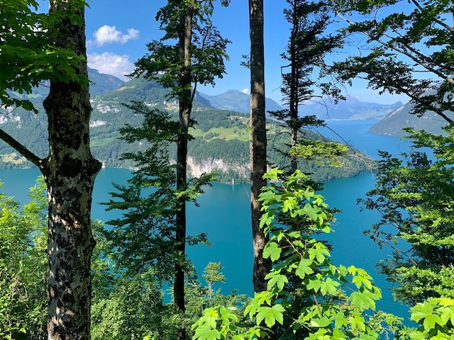
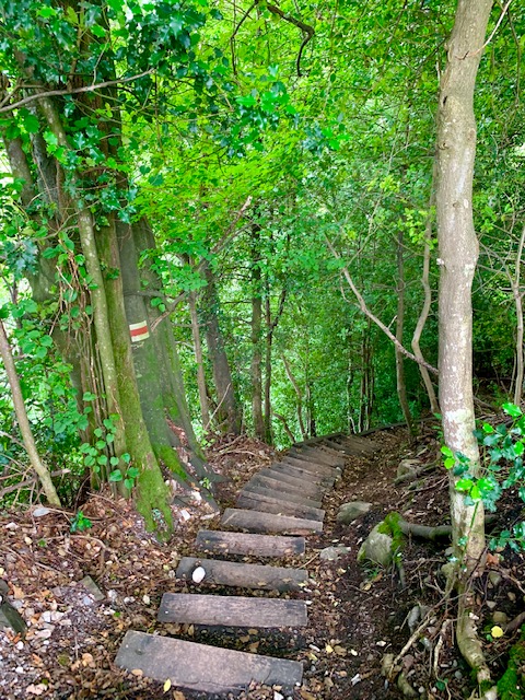
You start your climb in the forest. The view of Lake Luzern as you continue to ascend was truly a sight to behold.
It was then downhill till you reach the town of Morschach.
According to the signs we saw, there was a detour for the Swiss Path. After a quick stop at Lourdes Grotto, it was uphill once more till we stopped for an early lunch break.
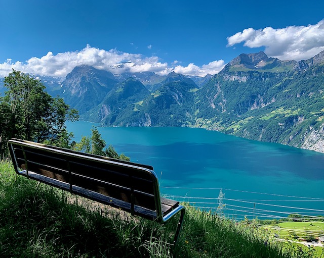
Unfortunately, we missed the sign showing the detour of the Swiss Path and hiked uphill more than needed and lost an hour till we found our way back on the path.
Essentially it was then downhill again till we reached the lake in Sisikon.
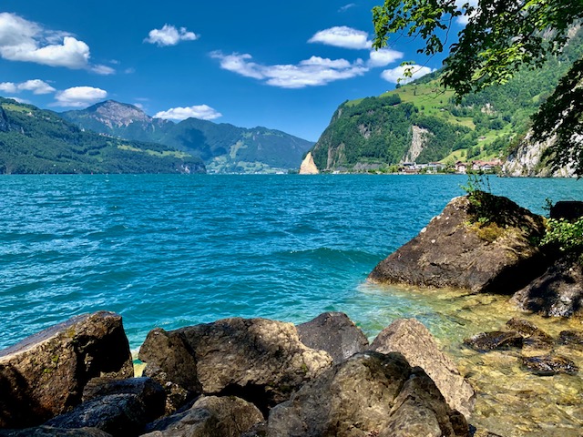
From there, we were always hiking close to the lake. I was envious of the many windsurfers gliding so elegantly on the turquoise waters. Learning to windsurf in Flüelen is now on my bucket list.
During this part of the trail, we encountered many lizards and what I also was convinced was a snake that did not move. I screamed! When sharing with my husband this encounter, he told me that it was likely a Blindschleiche (slow worm?). I never knew this animal existed.
At some point you will pass William Tell’s chapel situated right on the shore of the lake.
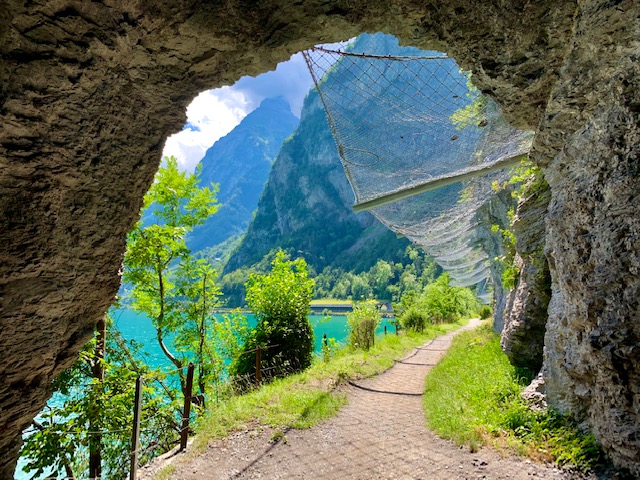
There was some up and downhill along this way including walking next to the main road and later in the tunnel next to heavy traffic, but on a clear pedestrian path.
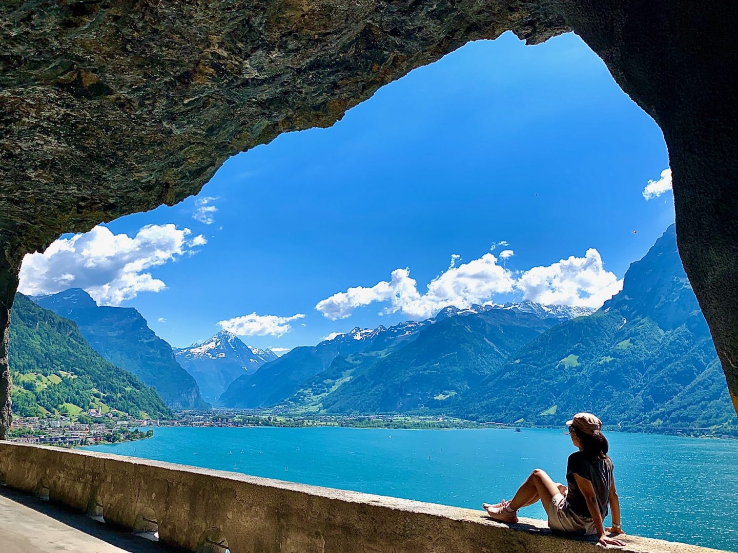
My favourite section of the trail was clearly this tunnel for bikers and hikers.
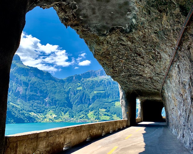
By the end of the day, my iphone had recorded 33’804 steps, 228 floors, 21km.
Click here for the statistics of our hike on Komoot: 21.5km with 850m ascend in 4.5 hours.
Rütli to Flüelen
I started the day with an early morning train from Basel to Brunnen and a boat ride from Brunnen to Rütli.
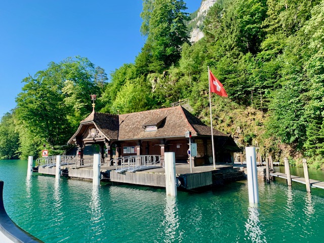
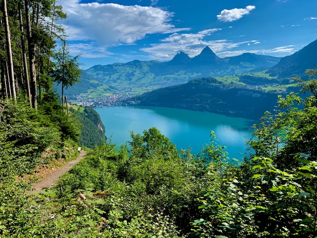
You start of the hike climbing up from Rütli towards Seelisberg, mostly shaded in the forest. The views of Brunnen from up here was just beautiful.
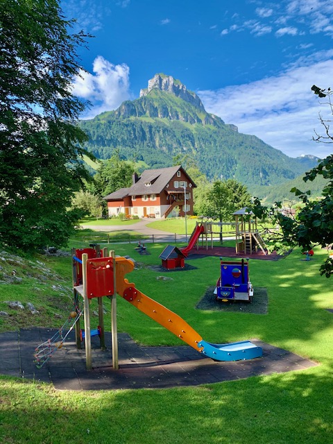
Arriving in Seelisberg, you will pass this beautiful playground by the restaurant and then take a left turn back into the woods.
You will now have to choose either an easy hike down to Bauen and walking along the shore of the lake for the rest of your hike to Flüelen OR (as I did) take the Alpine trail to Isleten (lots of up and downhill) and then descending down to the lake for the rest of your hike to Flüelen.
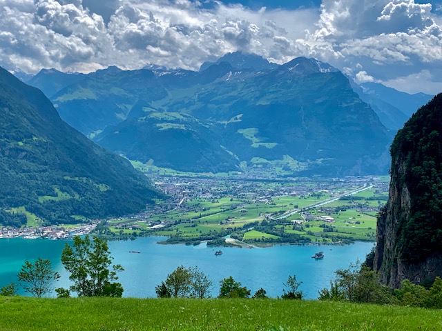
Taking the second option cost more time and required much more uphill climb of course. But it was worth it. Look at this view I had of Flüelen.
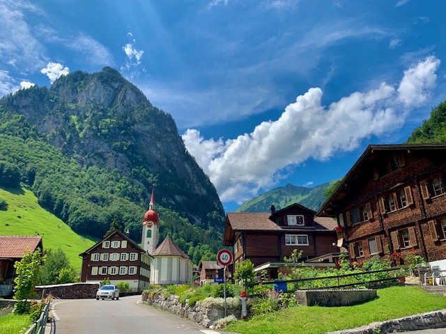
Isleten was a charming little town.
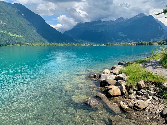
Soon I was hiking along the shore of Lake Uri, the southern end of Lake Luzern.
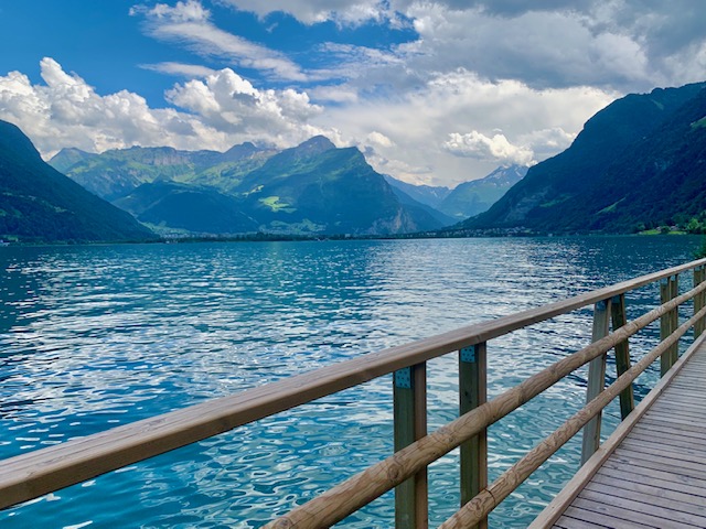
I did not pass as many tunnels as you would if you walked along the lake from Bauen to Flüelen.
The clear waters looked so inviting but I did not have any time to stop. My mind was imagining the future stop I would make for a swim here on our way back from Lugano to Basel after our upcoming holidays in Italy.
It said it was another 1h 50m from Isleten to Flüelen but I managed under 1.5 hours. I was so hungry at this point but was focused on getting to Flüelen. All I had eaten was some grapes and two slices of bread. The connection I was aiming for would take 3 hours from Flüelen to Basel – I didn’t want to get home any later.
I was grateful when I finally found a fountain to refill my depleting water bottles. Beware that this section can be brutal on a hot day as there is NO shade.
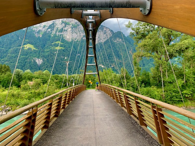
There was a beautiful bridge in the Reuss Delta, as you are approaching Flüelen.
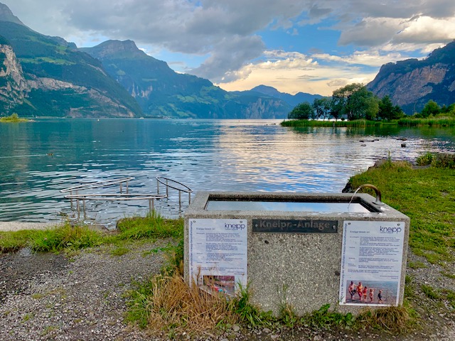
The skies started to become dark when I came across this Kneipp section on the lake.
Soon it was raining and I found myself running towards the end.
By the end of the day, my iphone had recorded 40,371 steps, 233 floors and 24.1km. My watch however recorded much more – over 27 km. I couldn’t believe I managed that with just two slices of zopf bread and some grapes.
.
.
.
I would highly recommend hiking the Swiss Path (some sections or the whole) once in your life.
For other things to do in Switzerland, click here.
